AERIAL METER DATA ACQUISITION & UAV FLIGHT
OPERATIONS
Professional Engineering, Deployment & Managed Operations
Certified Engineering Teams & Carrier-Grade SLAs
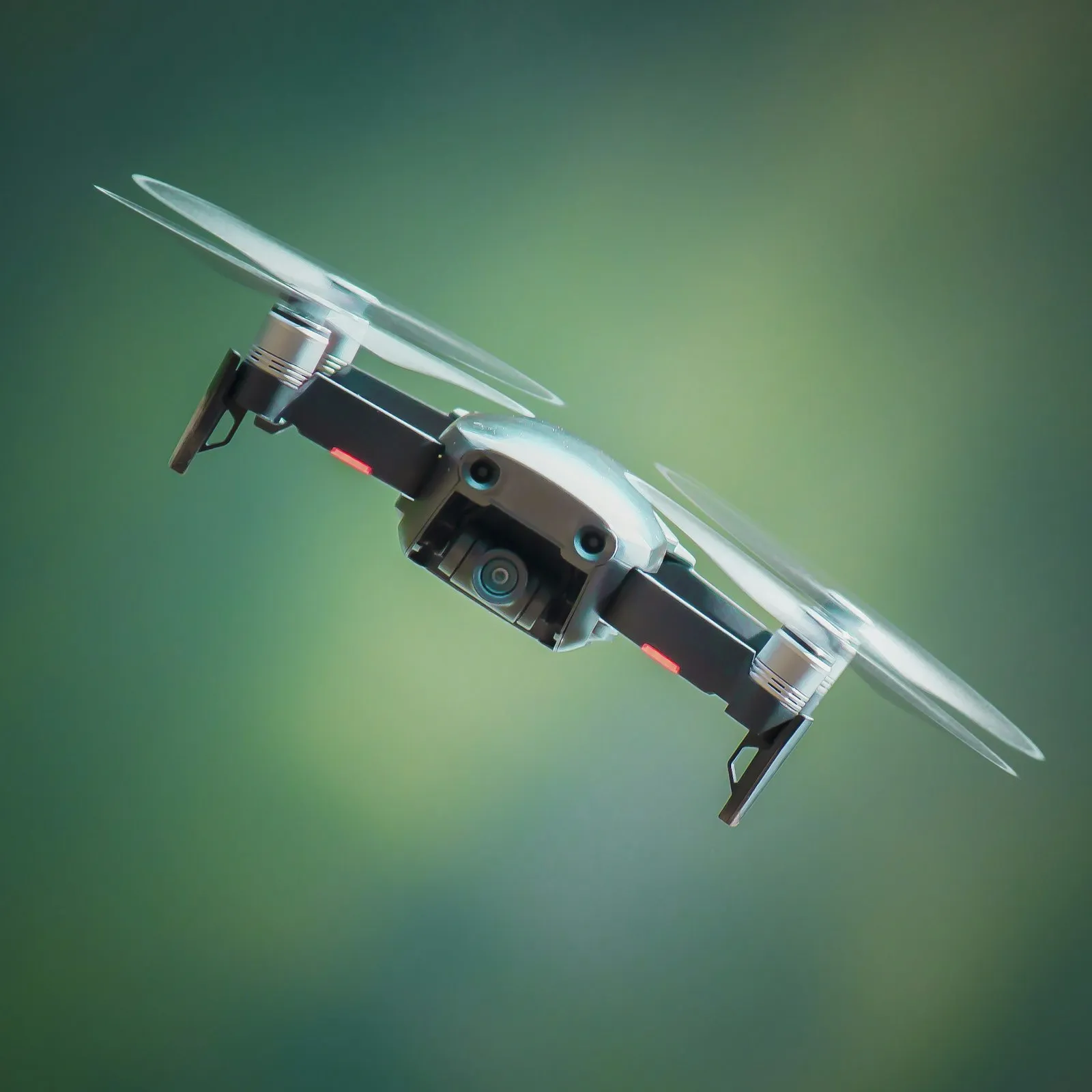
Mirach Innovations provides turnkey Airborne Metering Services, deploying DGCA/FAA licensed commercial UAV pilots and long-range Sub-GHz drone payloads to capture utility meter data across rugged mountain terrain, flood plains, and remote agricultural cooperatives.
Our aerial survey crews operate autonomous waypoint missions above road traffic and physical fences, capturing consumption, tamper alarms, and load curves from up to 5,000 meters per flight battery cycle at speeds 10x faster than traditional ground patrols.
Certified Field Readiness
& Utility Safety
All personnel certified in substation electrical safety, OSHA regulations, DLMS
User Association green book testing, and ISO 27001 cybersecurity frameworks.

Autonomous Flight Path Orchestration
Way-pointed autonomous flight routes designed around terrain contours, substation positions, and high-density meter clusters for safe aerial sweeps.
Sub-GHz Payload Interrogation
Custom RF transceivers mounted on drones interrogate Sub-GHz water and electric meters from altitudes of 50 to 120 meters at cruise speeds of 60 km/h.
Inaccessible & Hazard Zone Access
Reading meters across rugged mountains, flooded lowlands, hazardous industrial chemical yards, and private gated compounds without trespassing.
Flight Log & Cryptographic Auditing
Comprehensive telemetry packages complete with GPS flight logs, signal strength stamps, and cryptographic verification for dispute-proof billing.
