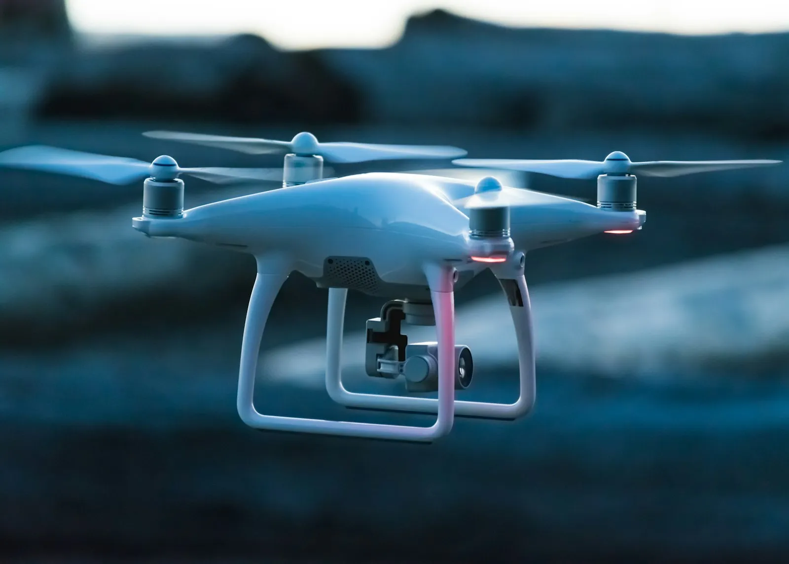
OUR AUTONOMOUS DRONE SURVEYING & 3D MAPPING
SOLUTION
High-Precision UAV Photogrammetry & LiDAR Surveying
Autonomous Aerial Geodata Capture for Critical Infrastructure
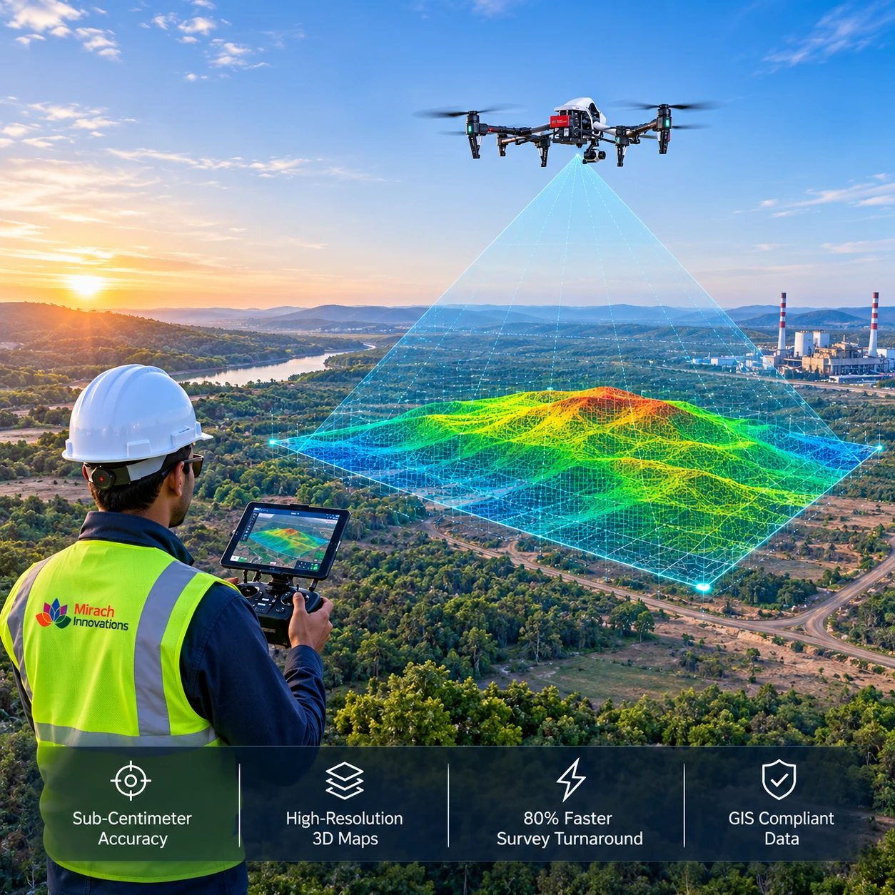
Mirach Drone Surveying & Mapping solution combines RTK/PPK commercial UAV aircraft with high-density LiDAR and 45-megapixel photogrammetry sensors to deliver sub-centimeter geospatial surface models.
Engineered for open-cast mines, linear infrastructure corridors, highway construction, and municipal land cadastres, it accelerates topographic survey turnaround by 80% while keeping human surveyors out of harm's way.
Sub-Centimeter
Accuracy & GIS Compliance Guarantee
Survey-grade
RTK/PPK georeferencing, ASPRS Positional Accuracy standards, and seamless CAD /
GIS interoperability.
Core Operational Capabilities
Sub-Centimeter RTK/PPK
Autonomous RTK/PPK-enabled UAV survey missions delivering sub-centimeter ground sampling distance (GSD) across vast terrain.
Canopy-Penetrating LiDAR
Multi-return airborne LiDAR penetrating dense forest canopies and structures to generate true digital terrain models (DTM).
AI Point-Cloud Classification
Automated AI point-cloud classification extracting digital surface contours, buildings, power transmission lines, and vegetation.
CAD & GIS Ready Export
Seamless volumetric computation and CAD-ready export (DXF, LandXML, GeoTIFF, LAS) delivered within 24 hours of flight.
