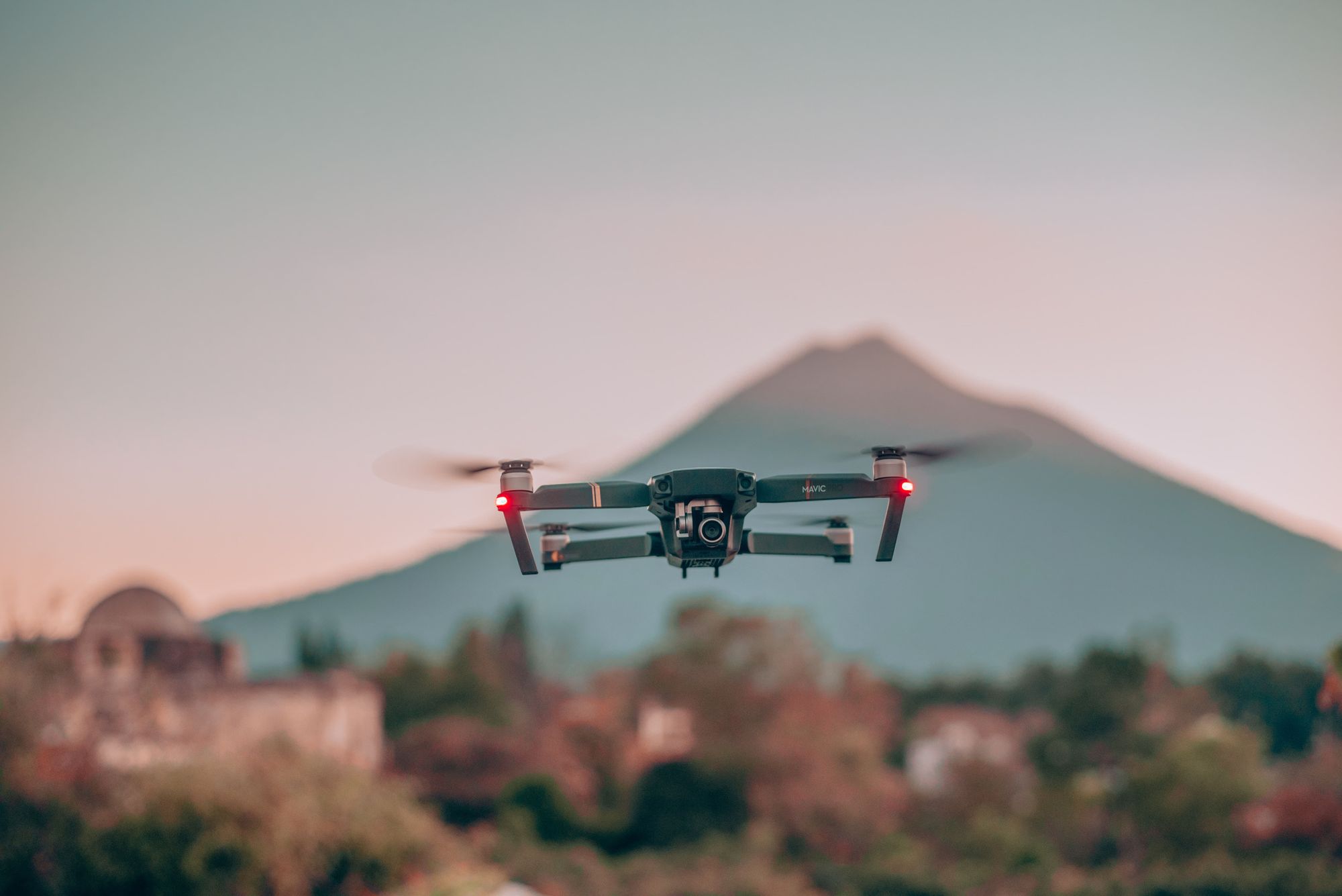
OUR ULTIMATE AIRBORNE METERING & DATA ACQUISITION PLATFORM

Our vision is to revolutionize the way airborne meters are integrated and data is acquired, enabling seamless interaction between airborne monitoring systems and advanced data acquisition platforms. By providing real-time data collection and analysis, our platform allows aviation authorities and energy providers to track airborne energy consumption, monitor performance, and optimize energy usage efficiently.

Key Features

Drone-Assisted Metering

Seamless integration of airborne metering systems for real-time data collection from smart meters.

Automated Data Acquisition

Automated data acquisition and analysis to optimize meter reading efficiency and accuracy.

Remote Monitoring

Monitor meter consumption remotely with advanced reporting capabilities and analytics.

Secure Communication

Secure, encrypted communication for reliable meter data management during drone flights.

Unified Platform

A unified platform bringing all meter data onto a single, transparent interface for complete visibility.
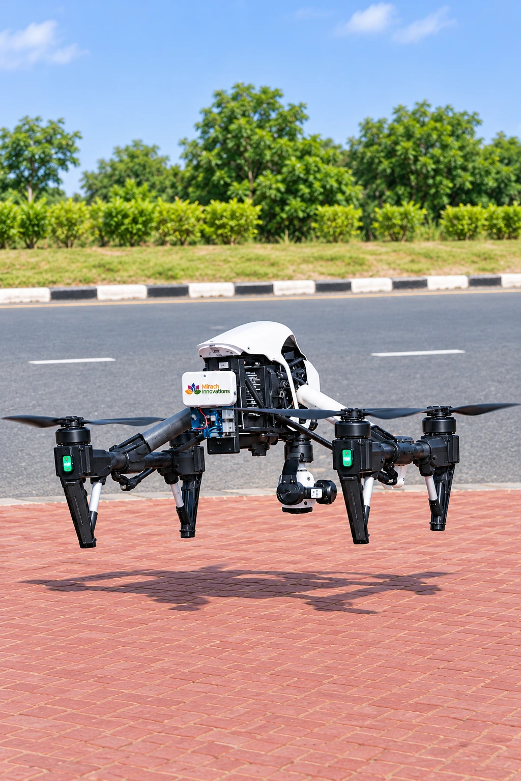
Join us in building the future of airborne energy management. Explore our platform to integrate, manage, and analyze airborne meter data, and be part of a larger network of aviation energy providers.
Airborne Metering & Data Acquisition - Optimizing Aviation Energy Management

airborne-energy-management

Autonomous Drone AMR Flight & RF Payloads

Unmanned aerial vehicles equipped with multi-band smart meter transceivers for rugged or inaccessible terrains

Reading utility meters in mountainous regions, rural farmlands, densely fenced industrial plants, or flood-prone wetlands requires hazardous manual travel and exorbitant operational budgets.

Mirach Airborne Metering couples high-endurance UAV quadcopters with high-gain directional Sub-GHz and W-MBus antennas. Operating autonomously via pre-programmed GPS waypoint missions, drones interrogate thousands of meters per flight without demanding line-of-sight visual access.

Autonomous Waypoints Wireless M-Bus / LoRa RF 10 km Range Coverage LiDAR Obstacle Avoidance AES-256 Air-to-Ground Link 45-Min Mission Endurance

Real-time telemetry feeds decrypt DLMS and proprietary meter records on the fly, storing mission telemetry on secure onboard flash memory before streaming bulk datasets to utility cloud servers.

Autonomous Aerial Mission Lifecycle

Seamless mission planning, autonomous flyby collection, and automated data synchronization

STEP 01

Waypoint Mission Planning

Flight corridors and meter geographic coordinates are calculated by Mirach Mission Control, generating 3D autonomous flight vectors.

STEP 02

Rapid Flyby Interrogation

As the drone glides along terrain at up to 40 km/h, the RF transceiver collects burst data packets from thousands of smart meters within seconds.

STEP 03

Docking & MDM Synchronisation

Upon autonomous landing at the charging pad, telemetry registers transfer over gigabit Wi-Fi/4G directly into the utility MDM billing platform.

Aerial AMR Efficiency ROI & Hazard Elimination

Read unreachable terrain meters 10x faster while ensuring zero safety incidents

Operational Velocity & Cost Savings

  • Read Speed Multiplication: 10x to 15x Faster
  • Field Crew Safety Incidents: 0 Accidents (Zero Hazard)
  • Flyby Read Success Rate: 99.9% First Pass
  • Vehicle Fleet Fuel Savings: Over 75% Reduction

Advanced Aerial Utility Integration

Enterprise drone telemetry interfacing with GIS utility mapping and MDM engines:

Autonomous UAV Flight Corridors Wireless M-Bus Mode T / C Sub-GHz Long Range Antenna GIS Geospatial Mapping Zero Line-of-Sight Blockages Encrypted Telemetry Sync